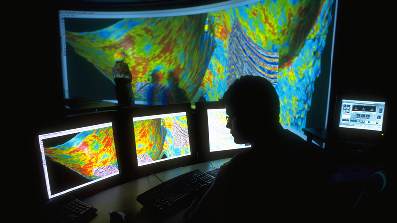
Halliburton processes intelligence from subsurface sensors and creates accurate, real-time insights using artificial intelligence and machine learning to maximize subsurface understanding. Customers can visualize real-time data in context with their subsurface model for better understanding through a single, gridless model for more consistent and reliable subsurface characterization.
Feet drilled in single run, 7 days ahead of plan
Ft/hr drilled in the North Sea
Hours of rig time saved
Remote, automated cementing operation in the North Sea
The Digital Well Program® synchronizes activities for a new level of consistency between operator design, Halliburton services, and third-party applications. This digitally-optimized construction process focuses on optimal placement, reduced field development costs, and perfectly executed wells.
The Digital Well Program® synchronizes activities for a new level of consistency between operator design, Halliburton services, and third-party applications. This digitally-optimized construction process focuses on optimal placement, reduced field development costs, and perfectly executed wells.

Surpass formation testing boundaries with reliable, high-quality data that can be monitored in real time
Explore Xaminer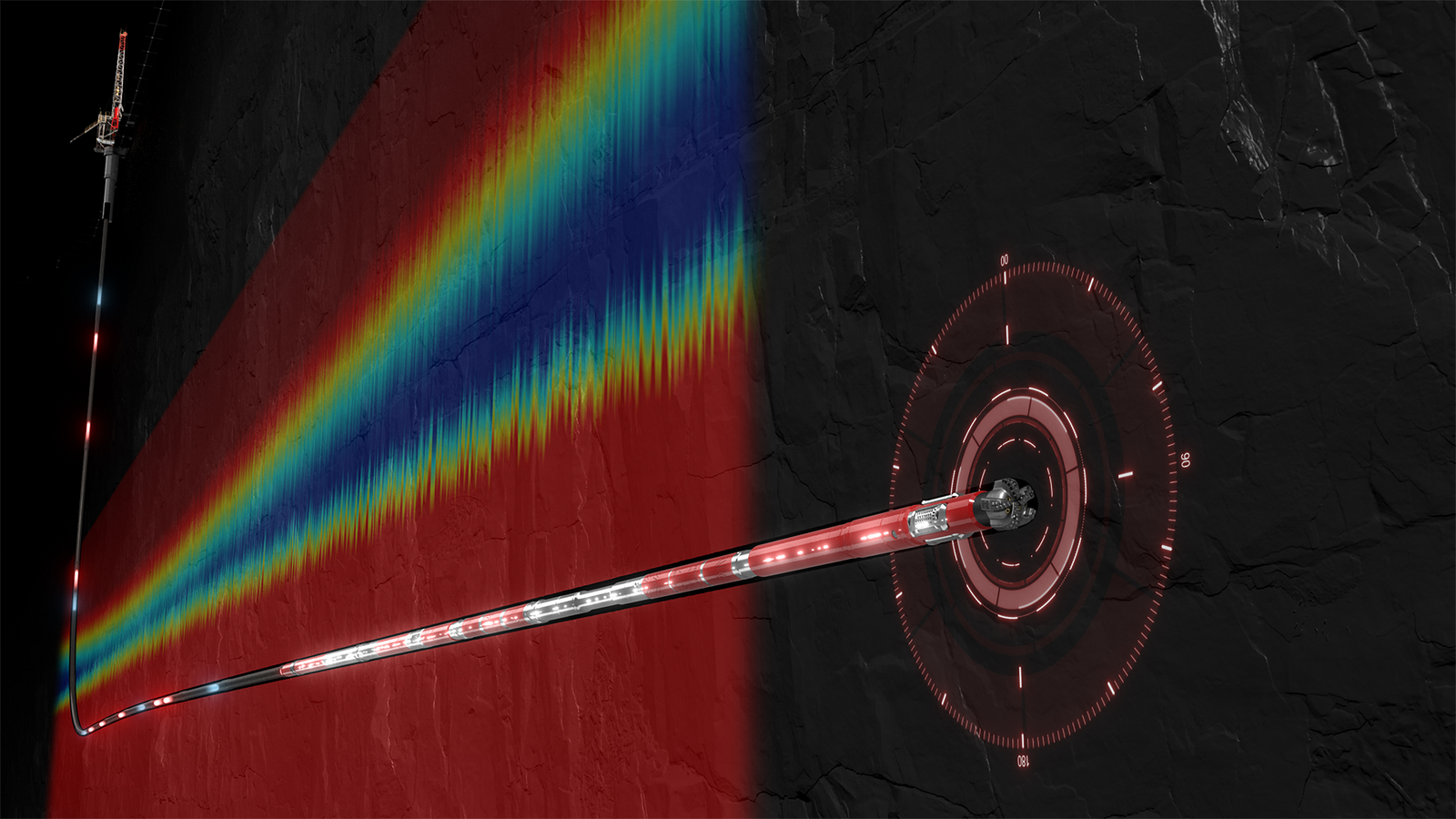
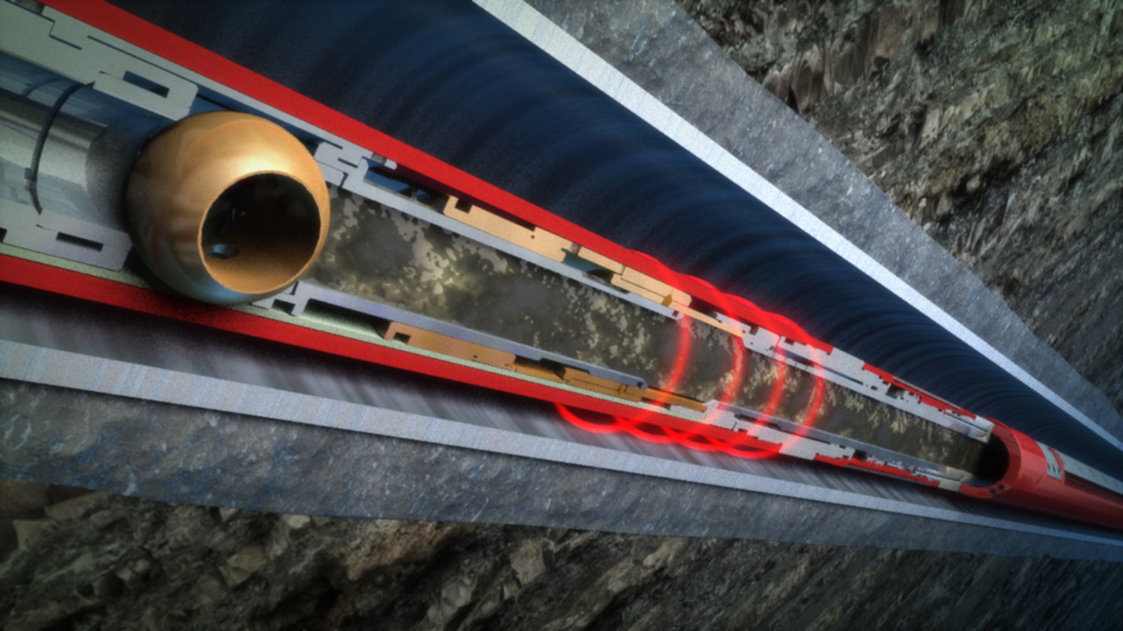
Streaming high-resolution, real-time drilling and subsurface data at extended depths to ensure efficient well delivery
Explore pulsestar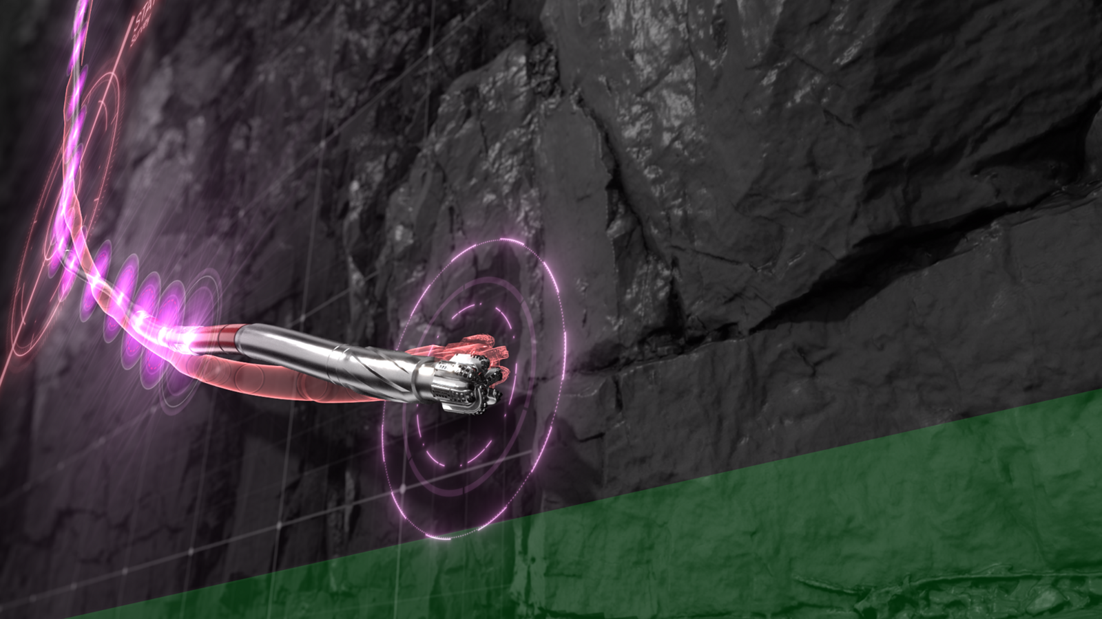
Minimize survey time and improve wellbore quality with precise wellbore placement through high-resolution survey sampling
Explore Guidestar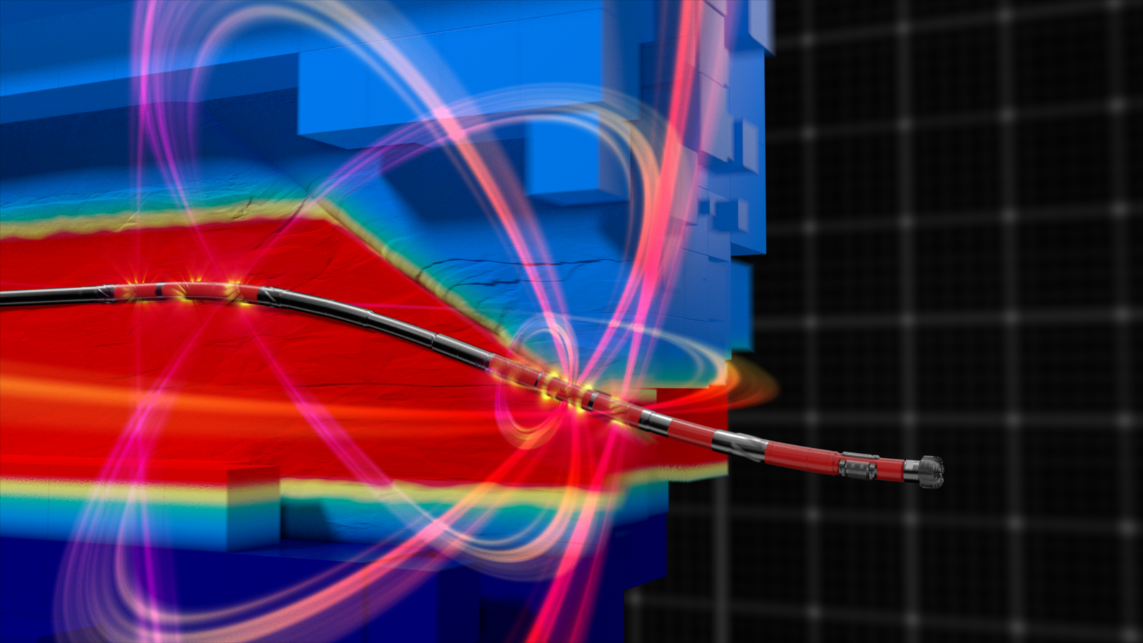
Near-bit, Shallow and Ultra-deep Resistivity Service
Explore EarthStar X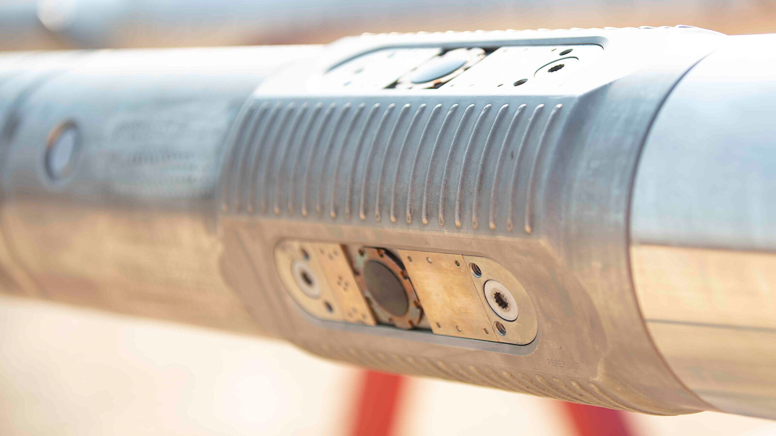
Enhanced subsurface insight, superior drilling performance, and consistent well delivery
Explore iStar
Wins OTC Spotlight on New Technology Award® (SONT). ExxonMobil selected the solution for its Payara development project in Guyana.
Explore OdasseaScalable Earth Modeling, a DecisionSpace® 365 cloud application, is the first and only cloud-native application on the market for earth modeling. This software allows you to rapidly run big data processing jobs and generate multiple scenarios to create accurate, integrated, and reliable subsurface models without the need to upscale data from its original captured resolution.
The Digital Well Program® synchronizes activities for a new level of consistency between operator design, Halliburton services, and third-party applications. This digitally-optimized construction process focuses on optimal placement, reduced field development costs, and perfectly executed wells.
Milestone
Halliburton Wireline provided innovative solutions and real time support to complete the operation successfully.
Read Story
The Halliburton RezConnect® well testing system is the industry's first fully acoustic actuated drill stem test (DST) system. It gets you informed decisions faster through wireless control of downhole DST tools, real-time measurement, and analysis of the well – all to help maximize asset value and minimize operational risk.
Explore RezConnectIntroducing StrataXaminer™, a new wireline logging tool that helps operators acquire more accurate well data to better evaluate production potential and increase their return on investment. The tool delivers high-resolution images of the reservoir structure to identify bedding, fracture patterns, fault zones and potential flow barriers with increased accuracy.
Explore StrataXaminer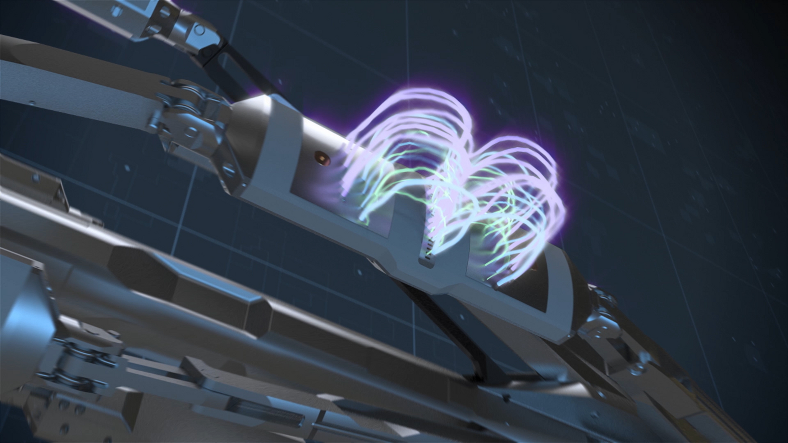
Reduce well time, accurately place your wells, and enhance your reservoir understanding with EarthStar service.
01:17
Illuminate and map the reservoir in three dimensions — hundreds of feet from the wellbore to avoid pilot holes, sidetracks, and unwanted exits.
Explore EarthStar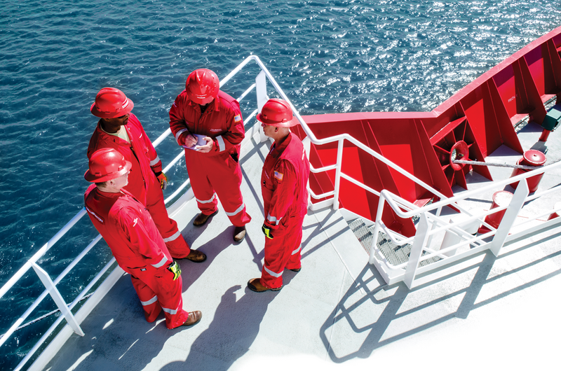
Halliburton formation evaluation services enhance reservoir understanding through our technology and subsurface characteristics for resource development.
Explore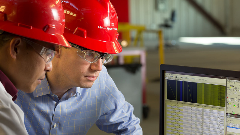
Halliburton reservoir testing goes below the surface to show operators the most accurate details of the reservoir.
Explore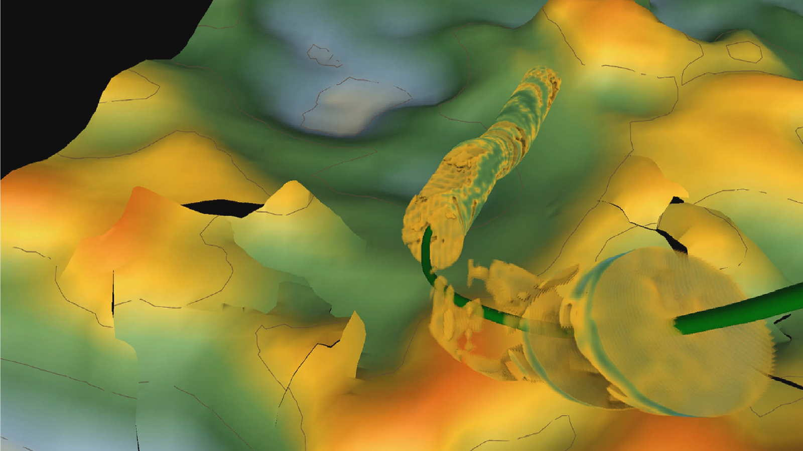
Screen basins, appraise plays, generate prospects, identify and prioritize well targets, and evaluate drilling results for advantaged hydrocarbons.
Explore