
Using Dynamic Frameworks to Fill® Software
talk to an expertAn iterative approach to create high-resolution structural models, integrating geophysical and geological interpretations. Frameworks are constructed using fault offsetting and conformance technology to generate sealed models for volumetric calculations.
Spotlight
The planning of horizontal production wells has many potential areas of uncertainty, one being the difficulty in predicting the geological structure and stratigraphy that will be encountered down well.
read spotlightMulti-user frameworks are dynamically updated as interpretations change and/or new data are added. Integrated ‘Mistie’ functionality streamlines the generation of correction and difference QC maps and helps ensure that the output structure matches the input interpretations.

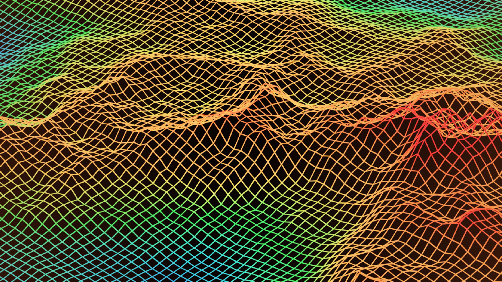
Seismic horizon interpretations are used to guide the mapping of surfaces with poor horizontal sampling through the application of thickness constraints and geological rules to help generate consistent and valid results.
Conformance groups: Global conformance rules, framework surfaces with shared depositional and structural histories can be grouped together and modelled independently. These rich sets of geologic rules can model simple geology to complex geologic scenarios.
Thickness constraints: Define thickness consistency or variability between adjacent surfaces to model a broad range of complex geological scenarios, without the need to include additional data constraints.
Webinar
In complex structural settings these challenges are amplified as they are typified by areas with poor-quality seismic data, minimal exploration well data, and uncertainties around the structural evolution of the study area.
Watch webinarWater-tight 3D compartments are generated and used to calculate gross rock volumes and oil (or gas) in place. The results can then be exported. These methods help improve accuracy and useability over traditional 2D ‘slicing’ methods or thickness grids.
Calculations: Created on the fly by auto-detecting sealed spaces in the framework bound by framework objects (surfaces, faults, geoshells, fluid contact planes) and/or the framework limits.
Volumetrics: Framework compartments are used to quickly get first-pass analysis of OOIP, STOOIP, and RHCR values, using single input values or grids honoring lateral variation of attributes such as Net to Gross. Dynamic Framework to Fill Software supports volumetric slicing reports and charts for QC, and third-party export.

High resolution structural framework which prioritizes well pick data through Mistie correction and propagation, allows more velocity parameter control for domain conversion, and includes uncertainty workflow functionality to help capture and calculate uncertainty in the subsurface.
Seismic and well uncertainty: Multiple sources of uncertainty (seismic and well data) are combined to create an uncertainty envelope that captures uncertainties in the subsurface interpretation.
Velocity parameters: Define specific velocity models per framework layer, and blend different velocity methods (interval, linear, or gridded/hybrid model) to achieve the desired result.
The only cloud-based application that can take on high-volume and large-scale earth modeling.